
Recent storms pulled Utah out of a record-low snowpack, but experts doubt the state can recover after an unusually warm winter.
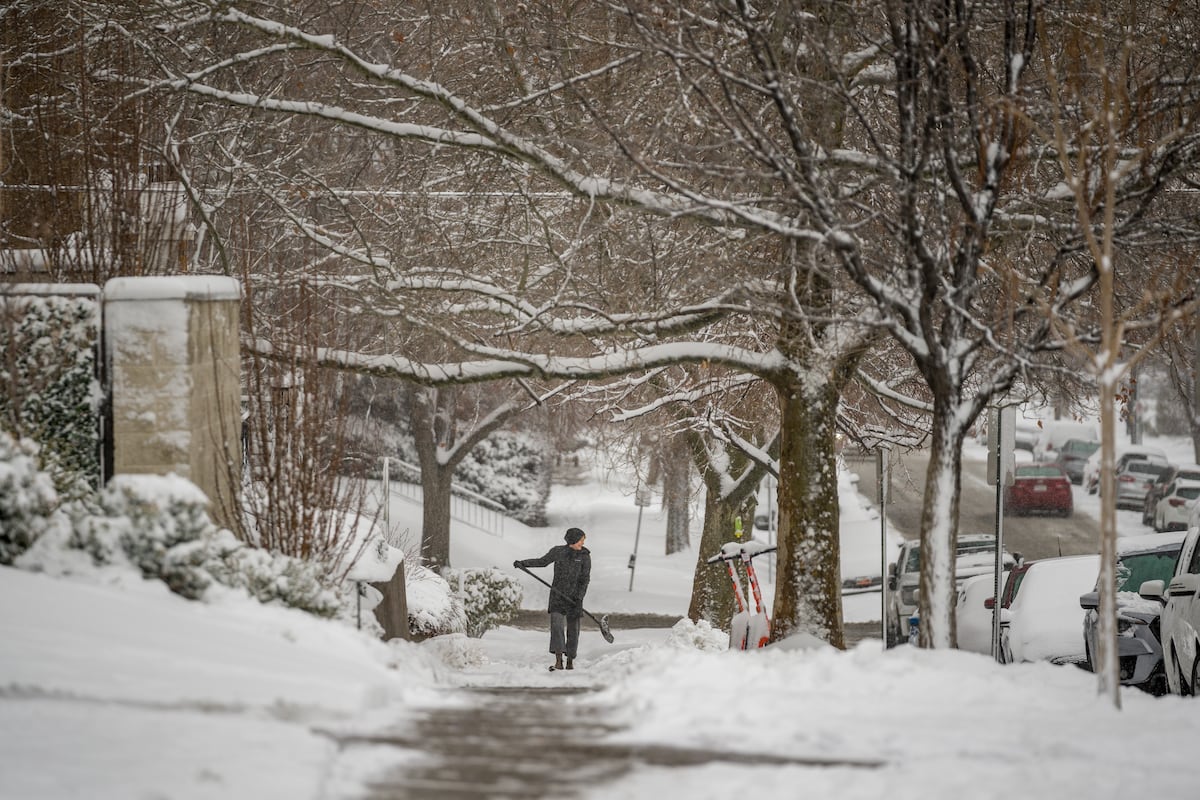
Despite a recent spate of storms yanking Utah’s snowpack out of record-low levels, forecasters say they have given up on any chance of a winter rebound.
“We were holding out hopes at the turn of the calendar year, back in January,” said Glen Merrill, a hydrologist at the National Weather Service’s Salt Lake City office. “Now, we only have March and the first week or two of April to bounce back, and it’s just too late in the season to have confidence in recovery at this point.”
By the time February rolled around, an unusually warm winter had left Utah with a historically low snowpack. The series of storms that blew through last week, Merrill said, boosted mountain snow levels to 65% of normal.
“We’ve added a little over 2.5 to 3 inches of water in our snowpack, and that’s gotten us above that record low,” Merrill said. “We’re still very low.”
Some stretches of the Beehive State are faring better than others. The Bear River Basin — which encompasses Cache Valley and other northeast portions of Utah — has a snowpack at 81% of its median for this time of year, according to the Utah Department of Natural Resources. In central Utah, though, the Lower Sevier Watershed sits at 35% of median.
The watershed that includes Salt Lake and Utah counties, meanwhile, is currently at 60% of median for this time of year.
In many of this season’s biggest storms, snow has normally fallen only above 8,000 feet, Merrill said. Because of the unusual warmth, everything lower has gotten rain.
“If you look at our precipitation for the water year, across the state of Utah, it’s near normal,” he said. “We’ve gotten the precipitation, it just hasn’t fallen as snow like it typically does at those low- and mid-elevation areas.”
Source: Utah News